Three Creeks in the dairlylands
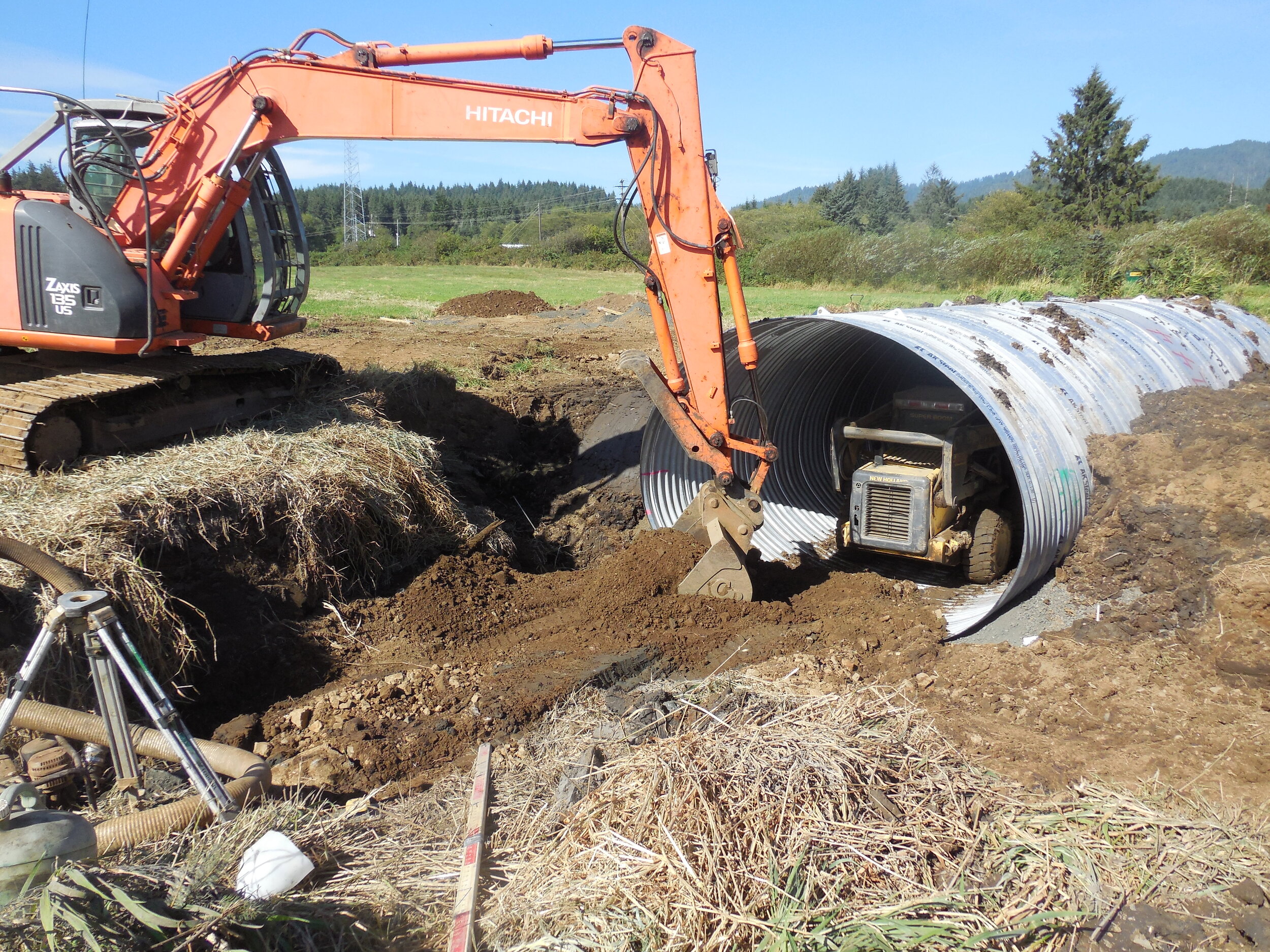
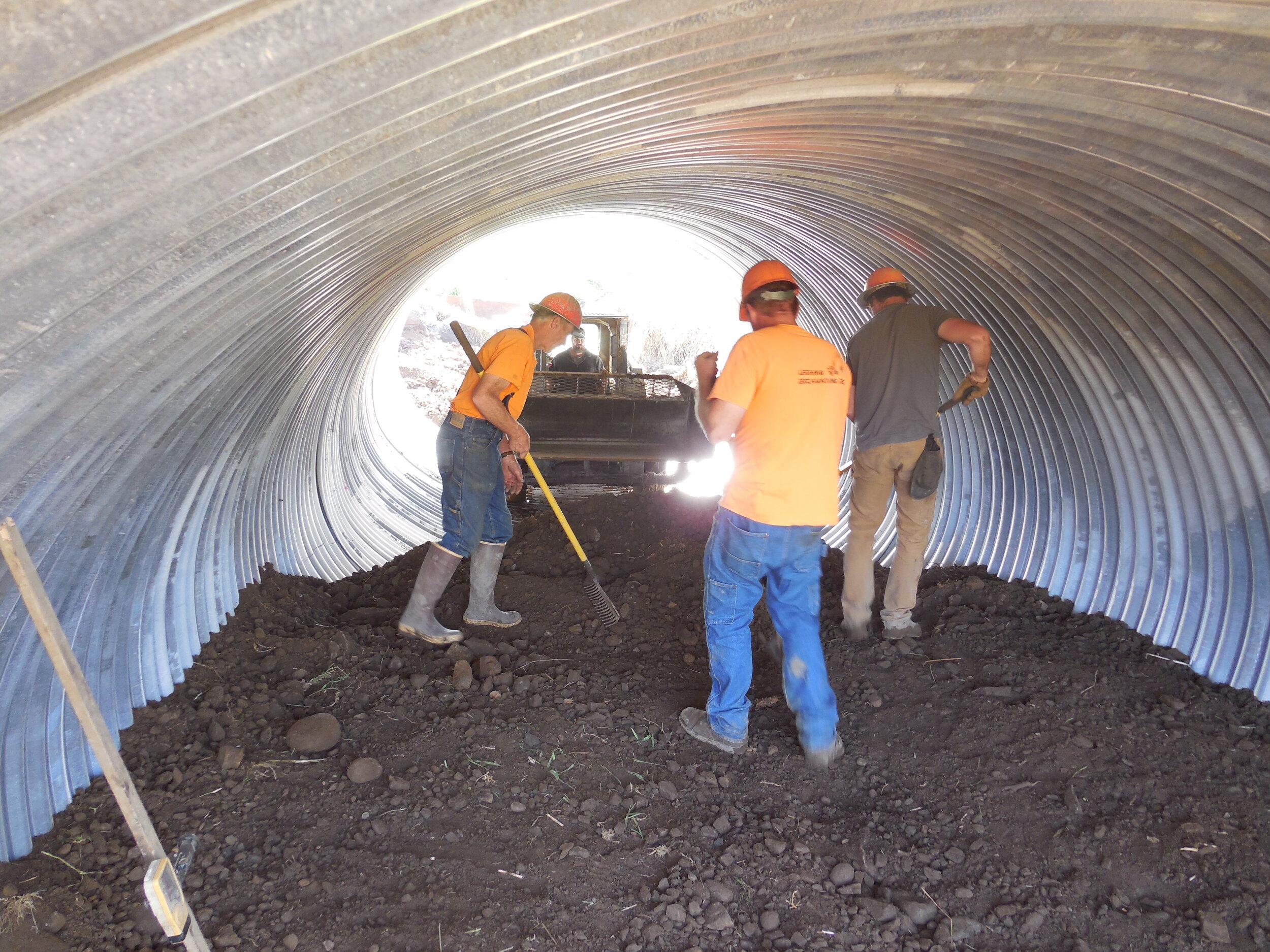
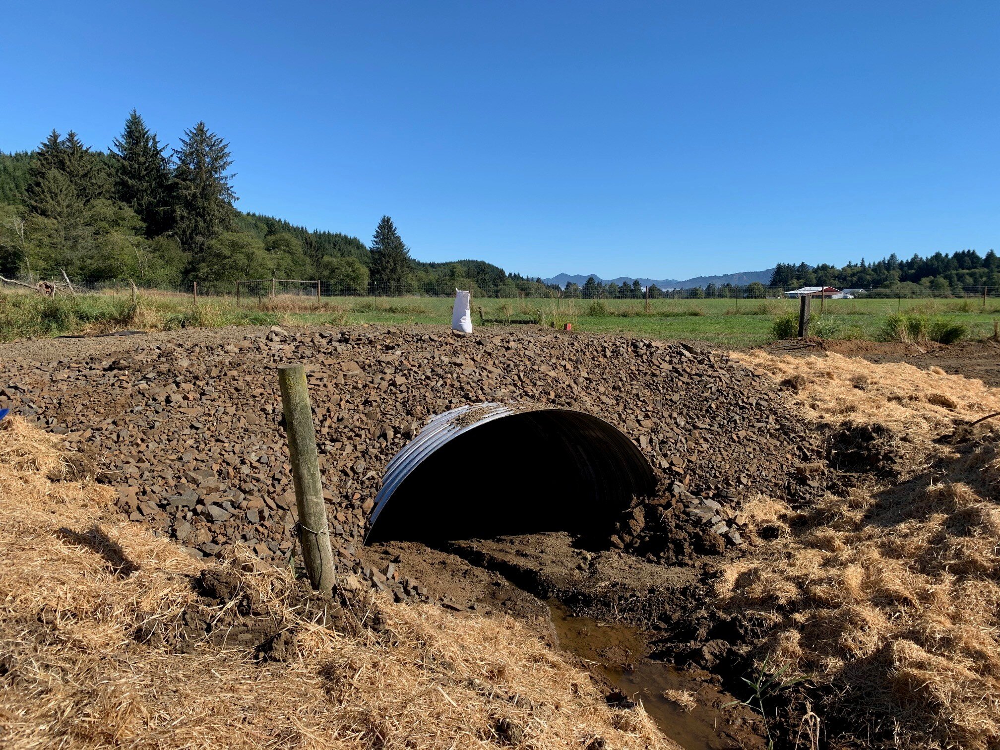
SSH/NRCS Smith Creek project in progress.
“Private landowners play a key role in reconnecting waterways, and NRCS does a great job in facilitating these partnerships.”
”
Project oVerview
Started: 7/20 Completed: 12/20
The USDA Natural Resources Conservation Service (NRCS) worked with private landowners to complete three culvert replacement projects on agricultural lands in Tillamook County in partnership with US Fish and Wildlife Service, Trout Unlimited, and Nestucca Neskowin Sand Lake Watersheds Council.
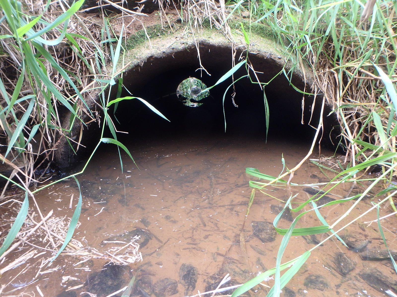
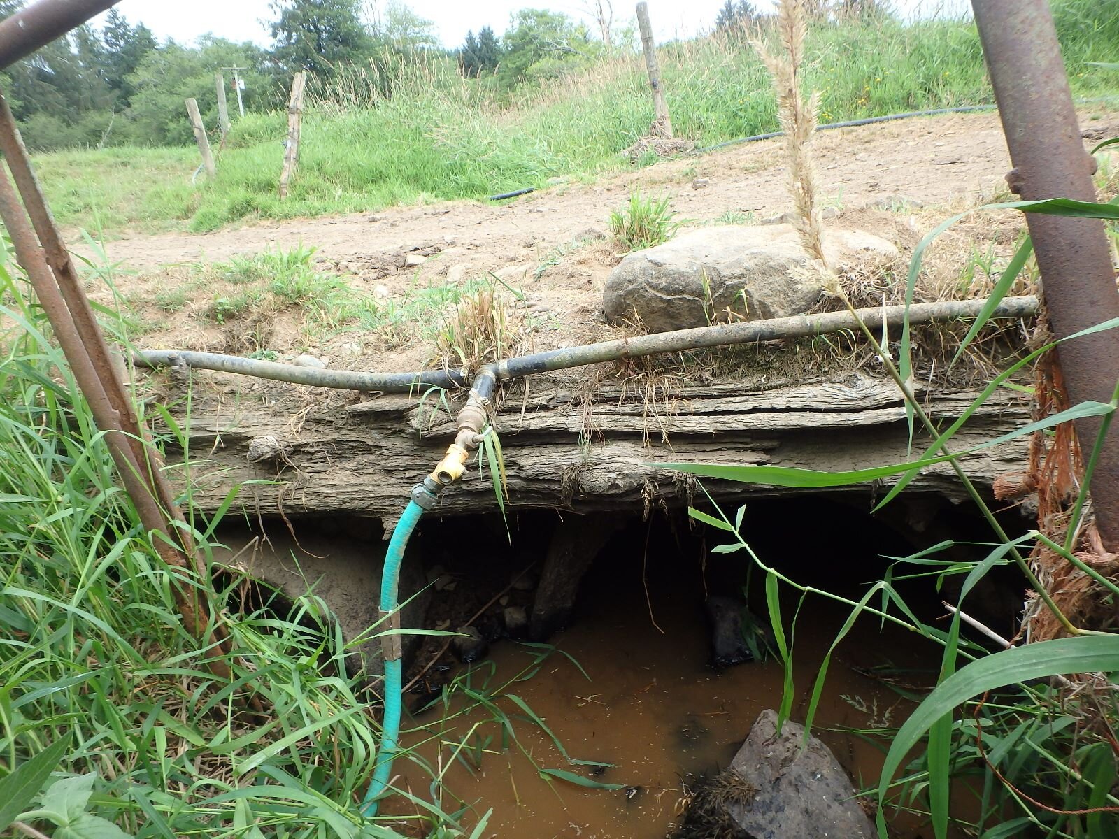
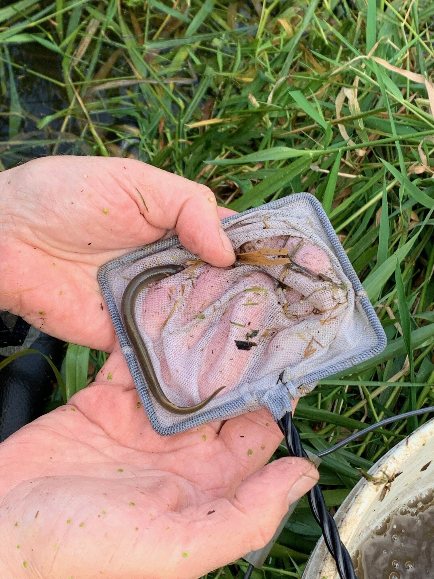
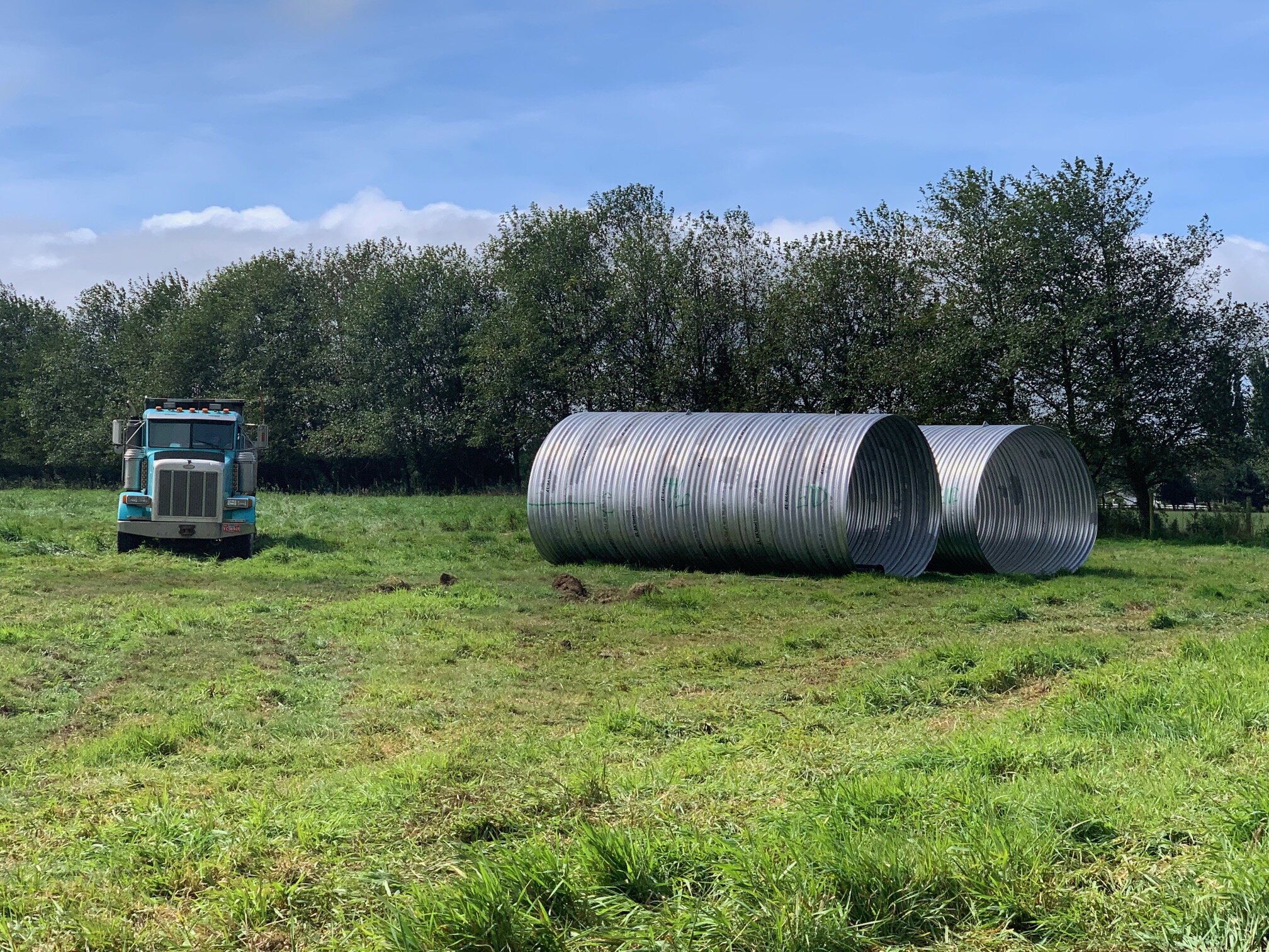
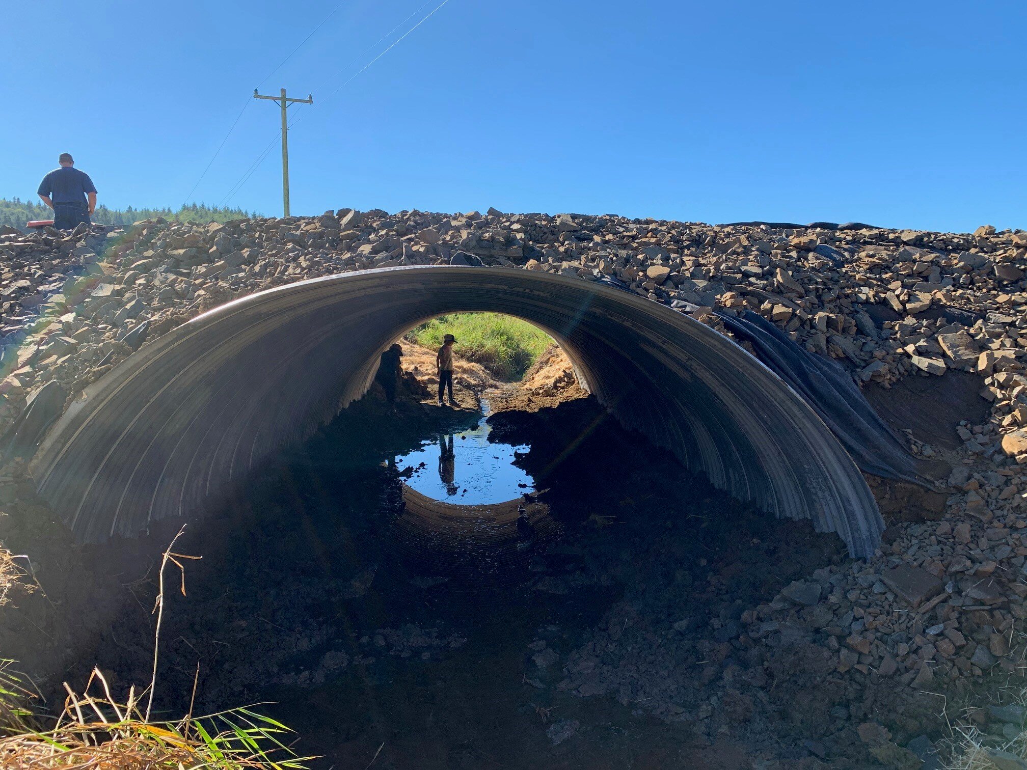
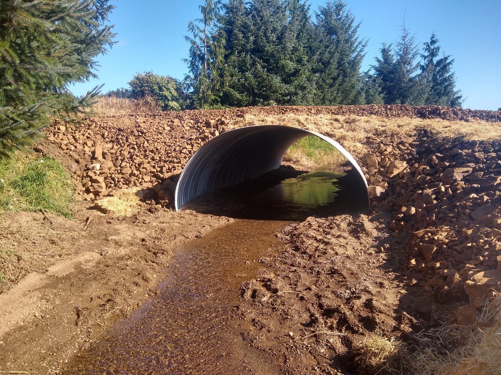
The projects all removed farm road culverts that were severely undersized and deteriorated and replaced them with large arch culverts (14’ x 9’ x 40’), restoring stream function and collectively restoring access to 3.6 miles of habitat for fish including ESA-listed threatened Oregon Coast coho, fall chinook, chum, winter steelhead, cutthroat trout, and Pacific lamprey.
Benefits
• Restored access to over 3.6 miles of habitat for fish including ESA-listed threatened Oregon Coast coho, fall chinook, chum, winter steelhead, cutthroat trout, and Pacific lamprey.
Project details
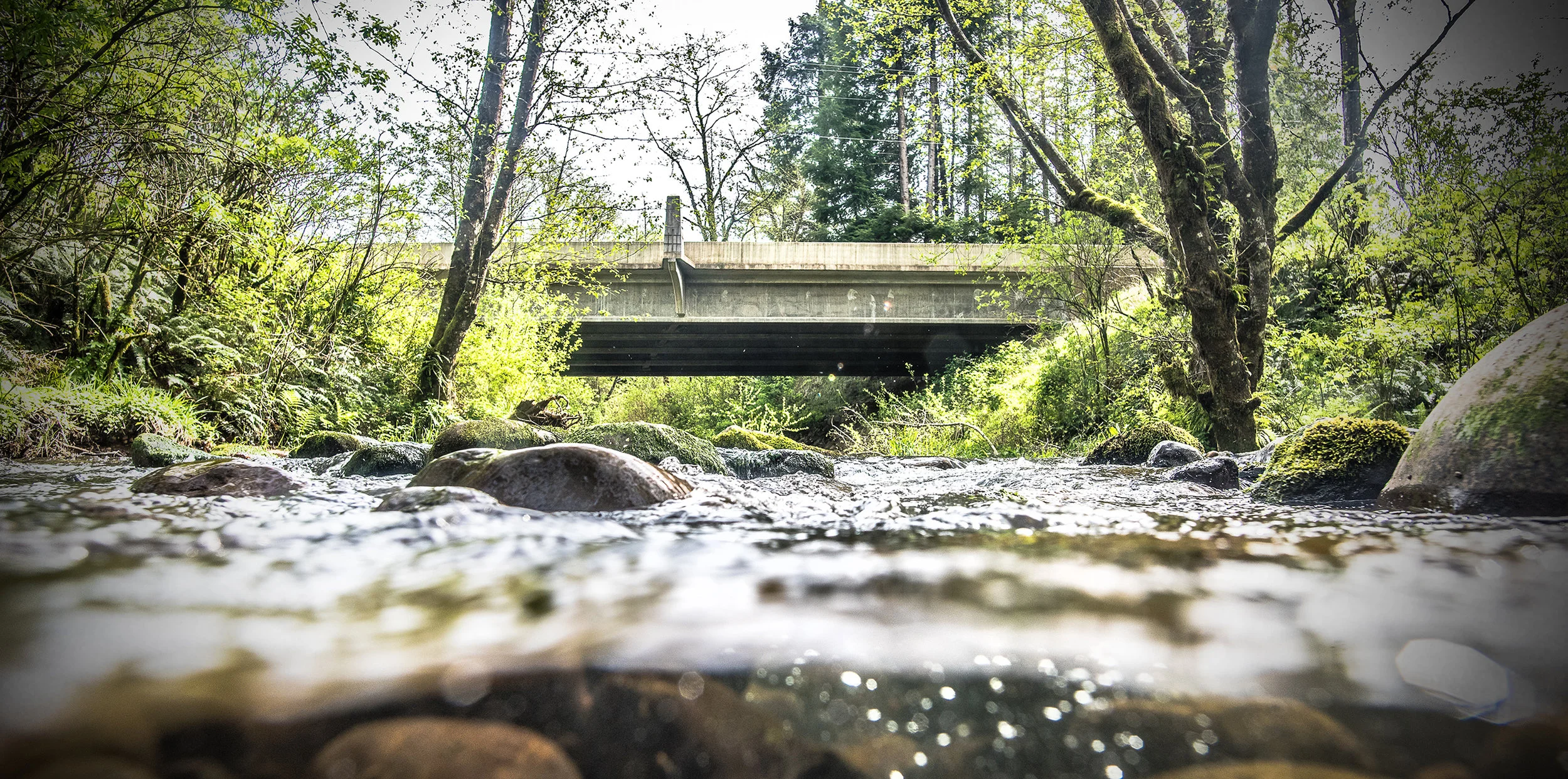
SMITH CREEK: Located in the lower reach of Smith Creek, approximately 1000 feet upstream of the confluence with the Nestucca River, the new Smith Creek crossing replaced what had been considered a severely undersized culvert pipe and barrier to both aquatic organisms and the natural transport of gravel and woody debris in the stream. The new arch culvert and associated access road designed by NRCS meets passage requirements of NOAA and ODFW criteria. This project ensures access to 1.5 miles of habitat supporting various life stages throughout the year.
UNNAMED TRIBUTARY: This project site is located 600 feet upstream of the confluence with Tillamook River at the first stream crossing on this tributary. The existing crossing consisted of two side- by-side, 30” concrete pipes which were too small to meet both flow and fish passage needs. The solution designed for this project is similar to the one for Smith Creek, and adds 1 mile of primarily rearing habitat.
JUNO CREEK: The project site is located .57 miles upstream from the mouth of the Wilson river on active pasture land. The existing culvert was an undersized, smooth, 36” metal pipe that inhibited natural stream processes and was easily blocked, restricting fish passage. As with the other two projects, a new arch culvert designed by NRCS solved the problem and, in this case, provided 1.1 miles of reconnected fish habitat.

Species + Infrastructure
SMITH CREEK: A prime option for upstream migration of juvenile salmonids from the lower Nestucca mainstem seeking temperature refugia. The Coho seen here during the 2002-2004 summer RBA surveys were noted as being exceptionally large compared to juveniles seen in other areas during that time.
UNNAMED TRIBUTARY: There is limited spawning habitat suitable for coho within the Tillamook river watershed which is concentrated in the upper portions of the stream as it rises out of the floodplain. The stream meanders through the floodplain and several small tributaries drain from low hills bordering Highway 101, providing important rearing habitat, especially winter refugia for juveniles escaping mainstem Tillamook River flows. Summer temperatures attract upstream migration for juveniles escaping the warmer waters of the Tillamook River.
JUNO CREEK: Consists primarily of good quality winter rearing habitat, with spawning habitat concentrated in the upper reach. The location of the stream in the lower Wilson River mainstem is ideal for mainstem juveniles seeking refugia habitat.
Partnership
The successful completion of these three culvert replacement projects on agricultural lands was spearheaded by the USDA Natural Resources Conservation Service and private landowners who worked in partnership with US Fish and Wildlife Service, Trout Unlimited, and Nestucca Neskowin Sand Lake Watersheds Council. The Salmon SuperHwy project brought together numerous partners to reconnect high-return waterways which may have otherwise been left undone for a unknown duration. Each partner plays a critical role in bringing these projects to completion. We thank the private landowners and our partners for their good work and collaboration.
cost + funding
TOTAL COST: $183,578
USFWS: $35.4K/$12K in kind
NRCS: $109K in EQIP Landowner Contracts/$30K in kind